A five-story mixed-use structure planned near the Discovery Center in downtown Murfreesboro ran into a geotechnical puzzle: the preliminary SPT borings showed competent limestone, but the site class couldn't be nailed down without shear wave velocity data. That's why the structural engineer specified a MASW survey. Murfreesboro sits on a patchwork of Ordovician limestone, residuum, and clay-rich alluvium along the Stones River, and the IBC requires a site-specific Vs profile when soft clay lenses hide beneath stiff overburden. We deploy a 24-channel seismograph with 4.5 Hz geophones, following ASTM D4428, to extract the fundamental-mode Rayleigh wave dispersion curve and invert it into a 1D Vs profile down to 30 meters. The result is a reliable VS30 value that feeds directly into ASCE 7 seismic design parameters. For deeper basin effects near the Rutherford County courthouse, we often couple MASW with seismic refraction to constrain the bedrock depth and velocity contrast at the soil-rock interface.
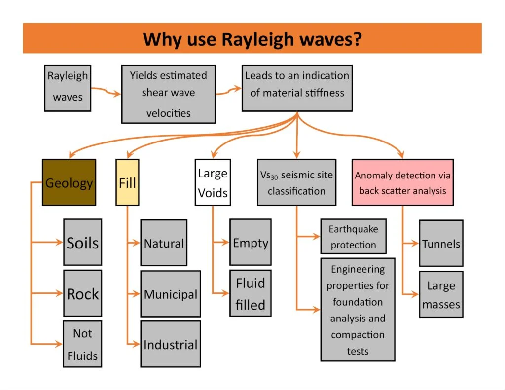
VS30 is the single most influential soil parameter in determining the seismic design category under ASCE 7 – getting it wrong can shift a building from Site C to Site D and double the lateral force demands.
Scope of work
In Murfreesboro, the limestone residuum can mimic rock on a drill rig but still classify as Site C or D depending on its stiffness and thickness. MASW cuts through that ambiguity. The method uses an active-source sledgehammer strike, recorded across a linear geophone spread, to generate a dispersion image that separates surface-wave modes from body-wave noise. Our processing workflow picks the fundamental mode across a 5–40 Hz bandwidth, then runs a damped least-squares inversion constrained by a layered half-space model. The Vs profile is checked against any available SPT N-values and soil descriptions from adjacent
test pits to validate the velocity layering. We deliver the VS30 metric, the time-averaged shear wave velocity for the upper 30 meters, along with the NEHRP site class letter, which directly governs the seismic base shear in the structural analysis. The entire field acquisition on a standard commercial lot takes about two hours, and we can mobilize alongside a
CPT rig to build a complete geotechnical model in a single day.
Area-specific notes
Not all sites in Murfreesboro behave the same seismically. A parcel in the Blackman area, underlain by thick alluvial terrace deposits, can produce a VS30 below 250 m/s – pushing the site into Class D or even E territory – while a lot near the MTSU campus on shallow limestone might reach 400+ m/s and remain Class C. The difference in seismic base shear coefficient between these two classifications can exceed 50%, directly impacting foundation size and structural steel tonnage. The biggest risk is assuming the bedrock is shallow and stiff everywhere. We've encountered buried paleochannels of the Stones River where soft silty clay extends 35 feet deep, completely invisible from surface mapping. Running MASW across the building footprint, not just a single line, reveals lateral velocity variations that a single borehole would miss. Without that spatial coverage, the structural design may rely on an unconservative site class that underestimates earthquake-induced forces.
Q&A
What does a MASW test in Murfreesboro typically cost?
For a standard commercial lot within Rutherford County, a single-line MASW survey with VS30 classification generally runs between US$1,620 and US$3,000, depending on the line length, site access, and whether we combine it with other geophysical methods. A 2D grid survey or a combined package with seismic refraction will be at the upper end of that range.
How long does a MASW survey take, and will it disrupt our site work?
Field acquisition for one MASW line typically takes two to three hours. The geophone spread is laid on the ground surface and removed immediately after shooting; no drilling, no excavation, and no heavy equipment enters the site that would interfere with grading or foundation crews working nearby.
How does MASW compare to SPT or CPT for site classification?
MASW measures shear wave velocity directly, which is the physical parameter that governs seismic site response under ASCE 7. SPT and CPT provide penetration resistance, which can be correlated to Vs through empirical equations, but those correlations carry significant uncertainty in residual soils like Murfreesboro's limestone residuum. MASW eliminates that correlation step.
What site class does Murfreesboro typically fall into?
There is no single answer – it varies by neighborhood. Sites on shallow limestone near MTSU or the downtown core often classify as Site C (VS30 between 360 and 760 m/s). Areas along the Stones River floodplain and its tributaries, where alluvial clay and silt are thicker, frequently fall into Site D (180–360 m/s). We have also mapped isolated pockets of Site E on very soft channel-fill deposits. The only way to know for your specific parcel is to run the survey.