Murfreesboro sits squarely on the Ordovician Ridley Limestone formation, a unit notorious for pinnacled rockhead and clay-filled solution features that can open without warning at excavation subgrade. The water table across central Rutherford County commonly fluctuates between 8 and 15 feet below grade, and when heavy spring rains saturate the overlying silty clay residuum, lateral pressures on shoring jump well beyond design assumptions. We learned long ago that monitoring frequency here cannot be copied from Nashville specs; the karstic drainage response is faster, and the transition from stable to raveling conditions compresses into hours rather than days. For deep cuts near the Stones River floodplain, CPT testing provides continuous stratigraphic profiles that pinpoint the clay seams where inclinometer casings should be nested, and grain-size analysis of the residual soil confirms drainage behavior that piezometer arrays must be sized to capture.
In karstic limestone, the most dangerous movement is not the one you measure—it is the one you stop measuring because the inclinometer casing sheared at a clay-filled grike nobody mapped.
Area-specific notes
OSHA Subpart P (29 CFR 1926.650) classifies excavations deeper than five feet as permit-required when hazardous atmospheric or ground conditions exist, and the karstic limestone residuum of central Tennessee qualifies on both counts. IBC Section 3304.4 requires monitoring of adjacent structures when excavation extends below the zone of influence, defined here as a 1:1 projection from the footing bottom. In Murfreesboro, where century-old unreinforced masonry storefronts line the downtown square and newer slab-on-grade retail spreads along Old Fort Parkway, the same excavation depth produces vastly different risk profiles. The downtown buildings have shallow strip footings on residual clay; tilt tolerances are tight—angular distortion exceeding 1/500 will crack historic brickwork. Out on the commercial corridors, the concern shifts to utility corridors: a 24-inch ductile iron water main running parallel to the cut at a six-foot offset does not tolerate more than half an inch of lateral displacement before joint distress begins. Monitoring without site-specific alarm thresholds is just data collection, not risk management.
Standards used
IBC 2021 Section 3304 (Excavation, Grading, and Fill), OSHA 29 CFR 1926 Subpart P (Excavation and Trenching), ASTM D7299-14 (Standard Practice for Verifying Performance of Inclinometers), ASCE 7-22 Section 12.13 (Seismic Earth Pressures), FHWA-NHI-05-094 (Soil Nail Walls – Monitoring Chapter)
Q&A
What monitoring instrumentation does IBC require for deep excavations in Tennessee?
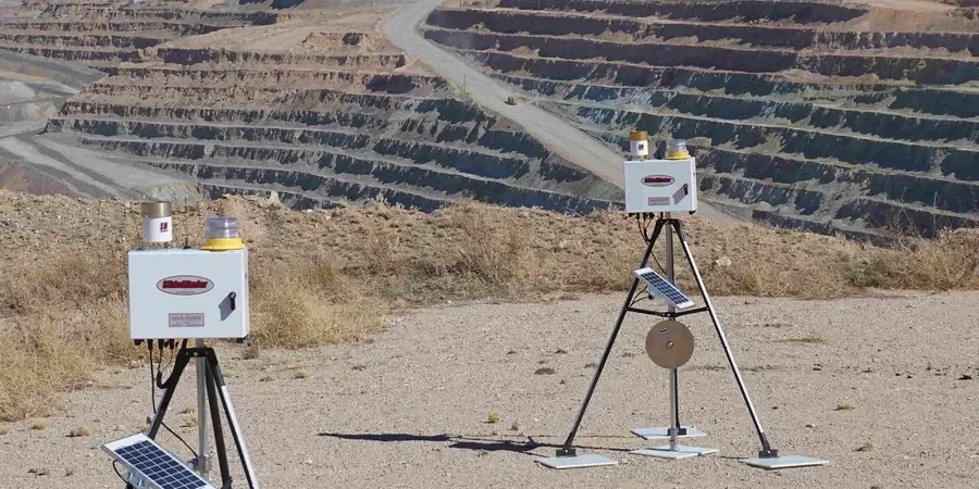
IBC Section 3304.4 does not prescribe specific instruments but mandates monitoring of adjacent structures when the excavation extends below their footing influence zone. In Murfreesboro, the standard package includes inclinometers behind the shoring, piezometers to track perched water, and optical survey points on nearby buildings. The instrumentation plan must be sealed by a Tennessee-licensed engineer and submitted with the building permit. We also reference OSHA Subpart P for worker-safety monitoring requirements during open-cut phases.
How much does geotechnical excavation monitoring cost for a typical Murfreesboro commercial project?
For a mid-rise commercial excavation in Rutherford County, monitoring programs typically range from US$750 to US$2,480 per month depending on instrument count, reading frequency, and reporting requirements. A basic package with four inclinometer casings, six piezometers, and monthly optical survey runs sits at the lower end. Adding automated total station systems with daily readings, real-time web dashboard access, and weekly geotechnical interpretation reports moves toward the upper range.
How do karstic conditions in the Ridley Limestone affect monitoring reliability?
Karst features introduce two failure modes for monitoring: instrument loss and data gaps at the most critical locations. Clay-filled solution channels can shear inclinometer casings precisely where deformation is concentrating, and open cavities drain piezometers so they read atmospheric pressure instead of formation pore pressure. We mitigate this by drilling instrument boreholes with air-rotary methods that detect cavities during advancement, then adjusting casing depth and grout placement to bridge problem zones. Redundancy is essential—no single inclinometer should be the sole data source for a shoring wall with karstic rock within 10 feet of subgrade.
What are the alarm thresholds that trigger a stop-work or redesign?
Thresholds are project-specific and derived from the geotechnical baseline report, but typical Murfreesboro values follow this hierarchy: lateral wall movement reaching 50% of the design allowance triggers increased reading frequency; 75% triggers a review meeting with the shoring designer and owner; 90% mandates stop-work and implementation of contingency measures. For adjacent buildings, angular distortion exceeding 1/500 on unreinforced masonry or 1/250 on framed structures requires immediate notification. Settlement rate exceeding 0.25 inches in 24 hours is an automatic alert regardless of cumulative value.