← Home · Slopes & Walls

Geotechnical Slope Stability Analysis in Murfreesboro, TN

Together, we solve the challenges of tomorrow.

EXPLORE →

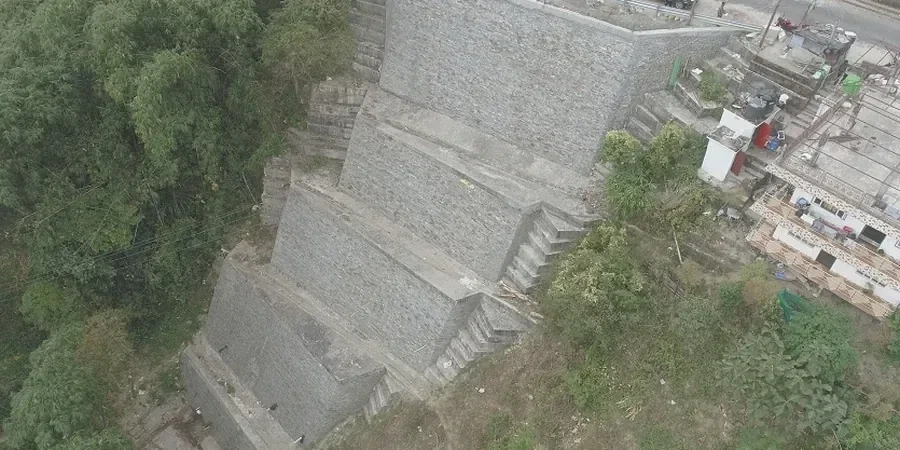
The hand-auger brings up sticky red clay at eight feet, and you can already see slickensided surfaces in the core barrel. That is what we encounter routinely when drilling exploratory borings for slope stability analysis across Murfreesboro — a city sitting squarely on the Ordovician limestone and calcareous shale of the Nashville Basin. The residual soils derived from the Ridley and Lebanon formations hold moisture differently than the alluvium along the West Fork Stones River, creating perched water tables that many grading plans overlook. We run a CPT test when the access is tight and we need continuous tip resistance data through the transition zone, or combine Shelby tube sampling with laboratory triaxial testing to define the effective-stress strength envelope that governs the factor of safety. Murfreesboro's growth corridor along Highway 96 and the widening of I-840 have pushed development onto steeper parcels where a desk study is not enough — you need site-specific shear strength and pore-pressure data to satisfy the IBC 2018 Section 1803 requirements that Rutherford County enforces.

A factor of safety of 1.5 for static conditions means nothing if the pseudostatic analysis drops it below 1.1 under the design earthquake.

Scope of work

At 619 feet above sea level, Murfreesboro sits on a mature karst landscape where the depth to bedrock can shift from three feet to thirty feet within a single lot. That variability, combined with the 2018 USGS seismic hazard maps that assign the area a peak ground acceleration around 0.15g for the 2% in 50-year event, means a slope stability analysis here must account for both static and pseudostatic conditions simultaneously. We start with a detailed stratigraphic log following ASTM D2488, then run consolidated-undrained triaxial tests (ASTM D4767) on undisturbed samples to capture the strain-softening behavior of the stiff fissured clay. For cut slopes exceeding 15 feet in the weathered shale, we model the potential failure surface using Spencer's method in Slide2 or SLOPE/W, incorporating the residual friction angle rather than the peak value. The MASW survey gives us a Vs profile that we use to classify the site per ASCE 7-22 Chapter 20, which feeds directly into the pseudostatic coefficient for the seismic slope check. We have seen too many designs that borrow generic parameters from the USDA soil survey — fine for preliminary grading, but not defensible when the building official asks for a signed and sealed stability report.
Geotechnical Slope Stability Analysis in Murfreesboro, TN
Technical reference image — Murfreesboro

Area-specific notes

The Central Basin climate swings from wet winters to flash-drought summers, and that swing is what triggers most slope problems in Murfreesboro. The fat clays — CH material with liquid limits often exceeding 55% — shrink and crack during the August dry spell, then the November rains fill those cracks and build hydrostatic pressure behind the failure plane. We have inspected slopes along the Stones River greenway where the toe erosion from stormwater outfalls reduced the passive wedge enough to initiate a slow rotational slide that the homeowner mistook for 'settlement'. A proper slope stability investigation has to model the wet-season phreatic surface explicitly, not just assume a hydrostatic condition. When the site is near a sinkhole or karst feature — and Murfreesboro has thousands of them — we add a sensitivity analysis assuming a sudden drop in the groundwater table, which can generate seepage forces that reduce the factor of safety by 20% or more. The Tennessee Department of Environment and Conservation keeps a karst inventory that we cross-reference before finalizing the subsurface exploration plan.

Need a geotechnical assessment?

Reply within 24h.

Email: contact@geotechnicalengineering.biz

Technical parameters


ParameterTypical value
Analysis methodLimit-equilibrium (Spencer, Morgenstern-Price) and finite-element (SSR) when warranted
Design groundwater scenarioPerched water at residual soil-bedrock interface, seasonal high at 3 ft depth
Shear strength sourceCIU triaxial (ASTM D4767) and ring shear for residual strength
Seismic coefficient (kh)0.5 × PGA (0.075g) per ASCE 7-22 §11.8 for permanent displacement < 1 in.
Minimum static FoS (global)1.5 (long-term), 1.3 (temporary cut, ≤ 6 months)
Minimum pseudostatic FoS1.1 per IBC 1803.5 and local amendment
Typical failure modes analyzedRotational (Bishop), translational (block glide on shale bedding), wedge
Reinforcement options evaluatedSoil nails, tieback anchors, MSE walls, regrading with benches

Linked services

01

Limit-Equilibrium Stability Modeling

2D cross-section analysis using Spencer and Morgenstern-Price methods. We model the actual stratigraphy from test pit logs or SPT borings, import the lab-measured shear strength, and run both circular and non-circular search algorithms to identify the critical surface.

02

Residual and Fully-Softened Strength Testing

Bromhead ring shear apparatus and multiple-reversal direct shear to measure the drained residual friction angle of the weathered shale and clay seams that control long-term stability in Middle Tennessee cut slopes.

03

Reinforcement and Remediation Design

When the factor of safety is below the target, we size soil nail arrays, evaluate tieback anchor bond length in the limestone, or design a mechanically stabilized earth berm that works with the existing topography.

Standards used


ASTM D4767-11 (CIU triaxial), ASCE 7-22 Chapter 20 (site class, seismic coefficient), IBC 2018 Section 1803 (geotechnical investigation requirements), FHWA-NHI-05-123 (slope stability reference manual)

Q&A

How deep do you need to drill for a slope stability analysis in Murfreesboro?

The boring depth depends on the slope geometry, but as a rule we extend the exploration at least 10 feet below the anticipated failure surface or to competent bedrock, whichever is shallower. In the residual soils over the Ridley limestone, that often means 25 to 40 feet. If we hit the weathered shale layer, we core at least five feet to evaluate bedding orientation and joint condition.

What is the cost range for a slope stability analysis on a single-family lot?

For a typical residential cut or fill slope in Rutherford County, the combined field investigation, laboratory testing, and stability report runs between US$1,410 and US$4,590, depending on the slope height, access constraints, and whether groundwater monitoring is required. A taller commercial slope with multiple cross-sections will be at the upper end or beyond that range.

Does the City of Murfreesboro require a slope stability report for building permits?

The Rutherford County Building Codes Department follows IBC 2018 Chapter 18, which requires a geotechnical investigation for structures on slopes steeper than 3H:1V or where the cut exceeds 10 feet. The city engineer will request a signed stability analysis if the site is in a mapped landslide hazard zone or if fill is placed on a slope with a pre-existing failure surface.

Location and service area

We serve projects across Murfreesboro and its metropolitan area.

View larger map