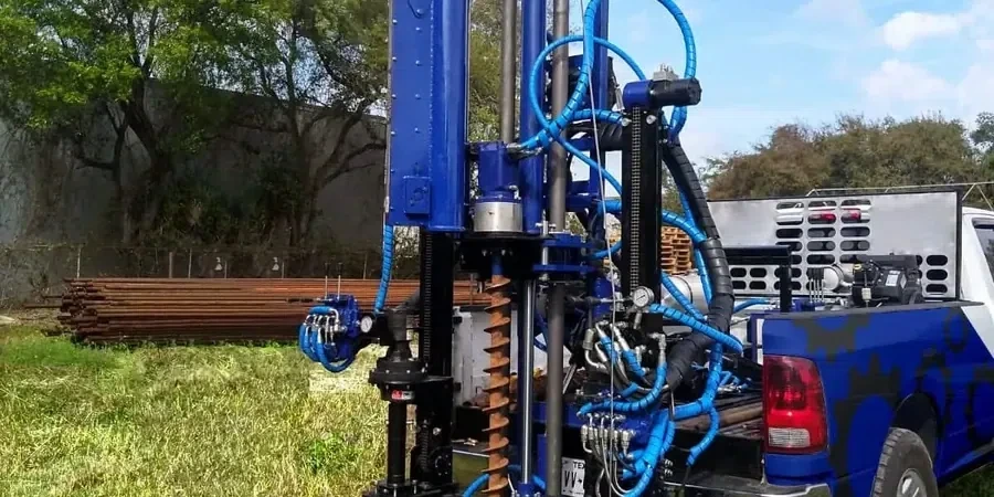
At roughly 619 feet above sea level and with a population exceeding 160,000, Murfreesboro sits atop a geologic patchwork of Ordovician limestone and alluvial deposits that demands rigorous subsurface investigation. The Standard Penetration Test remains the most direct method for quantifying the in-situ density and consistency of these soils, which range from residual clay over weathered rock along the Stones River floodplain to deeper chert-rich horizons in the Blackman area. For geotechnical engineers designing shallow footings or deep foundations in Rutherford County, obtaining repeatable N-values is not just a code requirement—it is the baseline for any defensible bearing capacity calculation. Before mobilizing a drill rig, many projects in Murfreesboro benefit from correlating SPT data with complementary CPT soundings when continuous stratigraphic profiles are needed in soft alluvium, or with test pit observations to visually confirm fill thickness in older commercial corridors near Broad Street.
SPT N-values in Murfreesboro’s residual soils often jump from 12 to refusal within 3 vertical feet when encountering the top of weathered limestone—interpreting that transition correctly prevents oversized foundations.
Area-specific notes
Boreholes drilled near the Stones River in the downtown historic district often encounter loose silty sands and soft clays below the water table, where uncorrected N-values below 8 can signal liquefaction susceptibility under the seismic demands of the New Madrid and Eastern Tennessee seismic zones. Just three miles east toward the Gateway area, the same depth may hit dense chert gravel with N-values exceeding 45—a completely different foundation regime. Relying on a single regional assumption without site-specific SPT logs creates a mismatch between design assumptions and ground truth that can lead to excessive differential settlement or, in the worst case, bearing failure. The team regularly applies liquefaction screening protocols using NCEER/Youd-Idriss methods to flag potentially contractive layers, and when the SPT log reveals soft lenses beneath proposed embankments, slope stability modeling is initiated to verify the global factor of safety.
Q&A
What is the typical cost range for an SPT investigation in Murfreesboro?
Most projects in the Murfreesboro area fall between US$580 and US$870 per borehole, depending on depth, number of SPT intervals, and whether the rig must penetrate chert or limestone obstructions that slow advancement. Mobilization and laboratory index tests are quoted separately.
How deep are SPT boreholes usually drilled in Rutherford County?
For commercial buildings on shallow foundations, 20 to 35 feet is common, extending at least 10 feet into competent limestone residuum. Deep foundation investigations often reach 50 to 70 feet to characterize the overburden above bedrock and confirm refusal depth.
What energy correction is applied to raw N-values in this area?
Raw field N-values are corrected to N60 using the measured hammer energy ratio, typically ranging from 0.60 to 0.85 for safety hammers. Additional corrections for overburden pressure (CN) and rod length are applied per Skempton and Seed-Idriss recommendations before use in liquefaction or bearing capacity calculations.
Can SPT distinguish between natural soil and undocumented fill?
The split-spoon sample recovery allows direct visual examination of the soil, so fill horizons containing brick fragments, asphalt chips, or organic debris are readily identified. The team logs these zones separately and flags them for further investigation, often recommending a deeper bearing stratum or removal and recompaction.